Battle of Nashville Defensive Positions in 3D
These are several defensive positions of the Confederate and Union Armies during the Battle of Nashville in 3D. Google Maps imagery was used to visualize the landscape in three dimensions. The terrain should be within 6 feet of the actual surface. Note: the Cumberland River was much lower in 1864 due to the absence of dam’s downstream.
The portions are accurate locations, but the earthworks are of an unknown type, so this is just an approximation.
Redoubts #1, 2 & 3
Redoubts #4 & 5
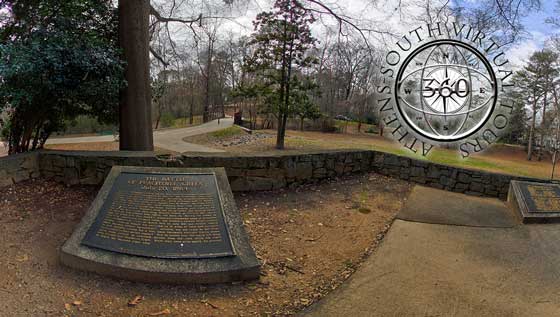
Shy’s Hill
Kelley’s Point at Bell’s Mill
Union Fort Negley
© Bob Henderson from The Athens of the South
Suggested readings: