5 million views later…
About this time last year, I got a strange looking email. At first, I thought it was Spam. It read that I had 500,000 views on Google Maps. I was now a Trusted Google Photographer! It was real, but big whoop. That means they trust you to put stuff on Google Street View (also called Business View) without their censorship. It also allows you to shoot business virtual tours for them – but you had to make 10 (now 50) business tours to get Certified and on their list.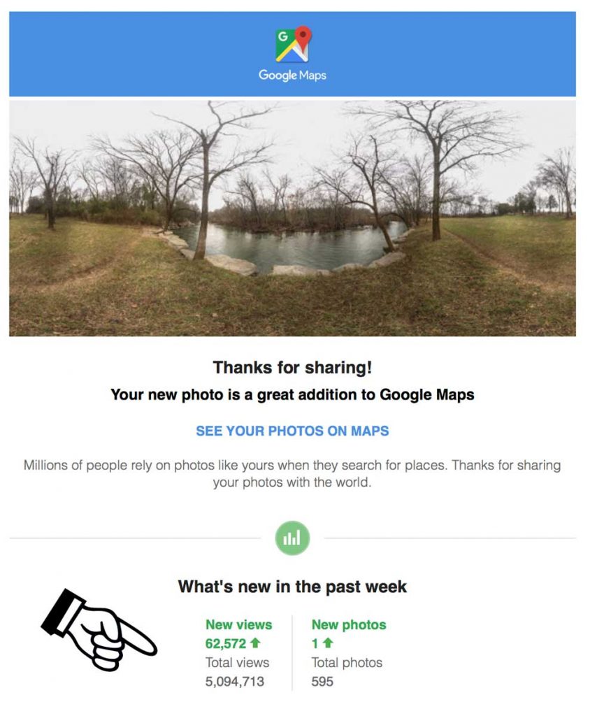
For the last several years I have been adding store front images of my retail merchants to Google Maps. This enhances their Internet presence, and makes it easier for someone to recognize their building from the street. But looking at the analytics, this is not where most of my new visitors were coming from.
The summer before last, my son and I were visiting a Civil War battlefield in Virginia. I noticed him swirling around a hill top behind the Antietam visitor center. This will be interesting… He informed me he was taking panoramic photo spheres with his Android phone. He uses the Panorama 360 app. I decided to give it a try with my iPhone. There are several free apps I looked at, but I decided on Google Street View. It has pretty decent photo stitching, loads directly to Google Maps, and gives you analytics on viewers.
In the late fall of 2015, I began shooting some endangered Civil War battlefield sites around Nashville. My first panorama was some property south of Franklin. I figured this would be a good way to preserve the imagery of the landscape. For the next couple of months, I shot about a dozen more battlefield panoramas and loaded them to Street View. This is where most of my visitors were coming from.
Outdoor panoramas are pretty easy to shoot with your smart phone, but as soon as you get close to objects with straight edges (like power lines), things get complicated. This is known as parallax error. I bought a tripod adapter for my iPhone to reduce this. It helped a lot, but not enough to bring my VR’s inside.
Shooting interiors of buildings require a camera that has a fixed nodal point. This is the point in space where the images converge in the camera lens. There are a few point and shoot cameras, such as the Ricoh Theta and the Iris 360. But, I ended up upgrading to a DSLR mounted on a robotic tripod (Gigapan Epic Pro) for much better picture clarity (up to 28k wide). This also allows you greater zoom quality. For instance, I was able to shoot a virtual tour of a bookstore, so detailed, that it allows viewers to read the title of the books on the shelf.
“ You have to milk the cow a long time, for a little bit of cheese.”
Shooting panoramas with a DSLR is tricky. It requires manual settings for everything in order for all the images (typically 54 shots per tour point) to line up.
Critical manual DSLR settings:
- Focus – no auto focus
- ISO – manual
- F-stop – manual
- Shutter speed – manual
- Color balance – manual
- Camera balance – perfectly level tripod
- Lens-robot calibration – this varies for each focus point
- Nodal point rail calibration – this varies for each focus point and needs to be within 1 millimeter!
Wow, this was getting complicated, but I really enjoyed the challenge. Drawing from my photography training, many moons ago, one quote from my MTSU professor (Norton) rang in my ears: “you have to milk the cow a long time, for a little bit of cheese”.
As a history nut, I began to lay claim to the virgin virtual world around me: Battles of Franklin, Nashville, Murfreesboro and about 30 more. In most cases this is the first, and only 3D* like imagery taken. They are now on Google Maps and my American Civil War history blog: battleofnashvillfe.com. At least half are from the iPhone. Some are better than others, as I improve over time and replace previous works.

I also found many historical sites that where literally not on the map (Google Maps). Siri, directions to the Sherman Reservation (where my GGF fought). Unable. So, I submitted the site to Google, and after approved, I was able to load a 360º to it. Now Siri knows this, and the many descendants of those brave men can pilgrimage to that beautiful forgotten obscure park, at the North end of Missionary Ridge.
GPS POI is another geographic data base that many GPS devices load coordinated from. Bing is another, but who uses Bing? Google still accounts for over 90% of web searches.
I have since found many more places like these. They are missing, or located in the wrong place. Ever had a GPS take you to the wrong location, or the wrong way? This is what you can do about it. It’s truly amazing how many businesses do not know to list or claim themselves >> they are invisible on the Internet. BY THE WAY: those pesky telemarketers that call you to claim your business? Liars, Google won’t call you for this.
…anyway, back to Google Street View: So after a Google Trusted Photographer shoots 50 professional** virtual tours, you get Certified. That means Google will list you as a private contractor on the Street View site. I am the 7th in Middle Tennessee and one of about 25 in the state. I just passed 5 million views on Google maps, mostly from the last 12 months. Now, if I could just get a penny from each one. Tips are welcome…
*Technically this is not 3D, although I think that name will stick. It’s pretty close to it, but 3D requires a different image for each eyeball.
**This can be any interior other than homes for sale. For instance, in addition to local merchants, I shot the Downtown Presbyterian Church and the Fort Negley Visitor Center for them. From the Athens of the South – Bob Henderson
#streetview #nashville


Leave a Reply